
Kanpur, 31 December: The effect of cold winds is on the rise due to the activity of western disturbances and snowfall in the Himalayas. The entire Uttar Pradesh is in the grip of cold wave.
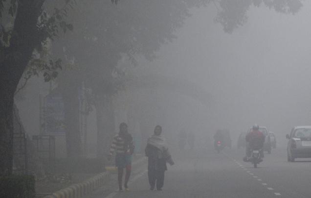
Along with this, due to sufficient moisture from the cyclones formed in the Bay of Bengal, mist and fog are also taking a severe form. Thus, the new year is starting with cold wave in Uttar Pradesh.
The Meteorological Department said that there is a possibility of light rain in some districts due to western disturbances.
Dr SN Sunil Pandey, meteorologist of Chandrashekhar Azad University of Agricultural Technology, said on Sunday that the western disturbance is being seen as a cyclonic circulation over Pakistan. An induced cyclonic circulation is over western Rajasthan.
He said that a low pressure area is over the western equatorial Indian Ocean and the adjacent southeast Arabian Sea. The associated cyclonic circulation extends to mid-tropospheric levels. It is likely to move west-northwestwards and become a well-marked low pressure area during the next 48 hours.
Pandey said a cyclonic circulation lies over Northeast Bay of Bengal and adjoining parts of Bangladesh. Due to this, the temperature will drop along with mist and fog in Uttar Pradesh and a cold wave situation has been created.
He said that the maximum temperature was recorded at 16.4 and the minimum temperature was 6.6 degrees Celsius. The relative humidity in the morning was 95 percent and the relative humidity in the afternoon was 76 percent. The direction of the winds was north-east with an average speed of 2.8 km per hour.
According to the weather forecast, the sky is expected to be light to moderately cloudy in the next five days. There is a possibility of cold and dense fog in the morning and night.