
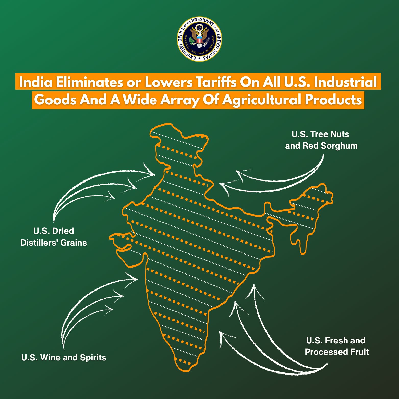
New Delhi, February 07: Soon after the announcement of the outline of the India-US interim trade agreement, the map released by the office of the United States Trade Representative (USTR) shows the entire Jammu and Kashmir, including Pakistan Occupied Kashmir (PoK) and China-occupied Aksai Chin, as part of India.
This new map, shared on the USTR office’s X-post, not only shows Jammu and Kashmir and Ladakh as part of India, but also all parts of Arunachal Pradesh within India’s territorial boundaries.
Earlier, India had several times objected to the incorrect representation of Jammu and Kashmir and Arunachal Pradesh in the maps released by the US and other global agencies. Now, the map released by the Trump administration has been prepared correctly after those objections.
This move is consistent with India’s stance and a departure from US policy, as previously, maps released by US agencies used dotted lines or separate labels to denote disputed territory in Pakistan-occupied Kashmir (PoK).
It is noteworthy that in 2020, Pakistan released a political map claiming Jammu and Kashmir, parts of Ladakh, and Junagadh and Sir Creek in Gujarat. India rejected this as “political folly.” Similarly, in August 2023, China released a map showing Arunachal Pradesh and Aksai Chin as its territory. India also flatly rejected these claims, stating that drawing maps does not change ground realities. The
Pakistan-occupied Kashmir (PoK) dispute has been ongoing between India and Pakistan since 1947. At the time of Partition, Jammu and Kashmir was a princely state, and Maharaja Hari Singh decided to accede to India after Pakistan’s invasion. Subsequently, Pakistan occupied the western and northern parts, which are now known as Pakistan-occupied Kashmir (PoK). Pakistan calls it “Azad Kashmir” and runs its own form of government there.
The Aksai Chin region is located northeast of Ladakh. China occupied it in the 1950s by building a road there. After the 1962 India-China war, China retained control of approximately 38,000 square kilometers of territory. India considers it part of Ladakh.