
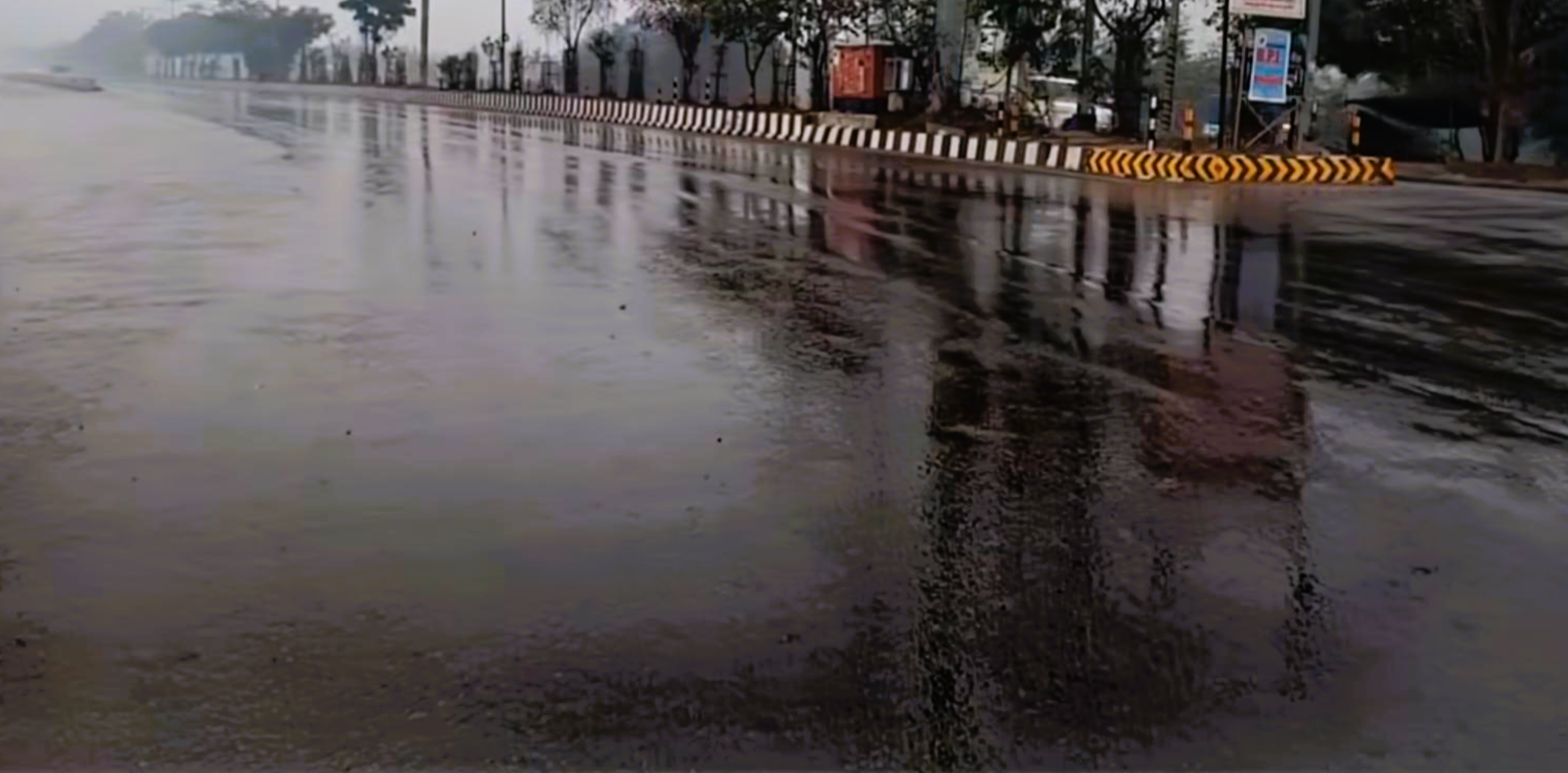
Lucknow, April 1: The Meteorological forecasts warned that from April 3, Uttar Pradesh will face another spell of unseasonal rains accompanied by thunderstorms and hailstorms, with temperatures expected to dip by 2–4°C due to the impact of a fresh western disturbance originating near eastern Iran.
Atul Kumar Singh, a senior scientist at the India Meteorological Department, Lucknow, stated that this change in weather is expected to continue in the coming days.
He explained that while the overall regional rainfall remained normal due to the active western disturbances in the state during the month of March, the rainfall during the second fortnight of the month was much higher than normal, while the regional average maximum and minimum temperatures were 1-3°C higher than normal during the first fortnight. Rain and thunderstorms are still occurring, but they will intensify from April 3.
The senior scientist said that due to the continuation of the Neutral Nino conditions currently prevailing in the equatorial Pacific Ocean during the upcoming summer season and under the combined effect of the Neutral Indian Ocean Dipole conditions, in view of the above normal rainfall in other parts of the state except Purvanchal during the month of April, the average monthly maximum temperature is likely to be slightly below normal while it is likely to be slightly above normal in Purvanchal, whereas during the summer season (April to June) the average maximum temperature is likely to be above normal in other parts of the state except the south-western part, due to which the number of average heat wave days is likely to be more than normal in eastern Uttar Pradesh and the northern Terai regions of the state.
The Meteorological Department has forecast that the average monthly minimum temperature is also likely to be above normal across the state during the upcoming summer season.